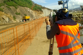
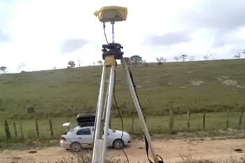
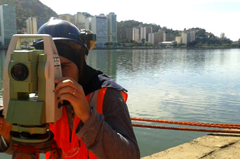
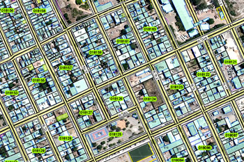
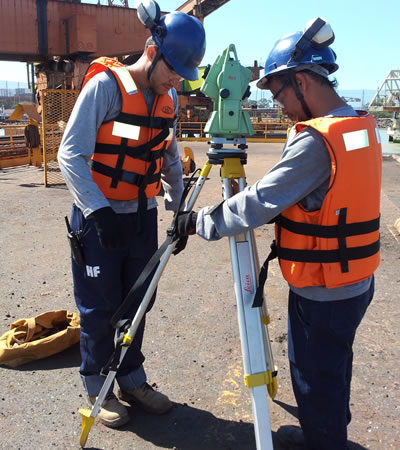
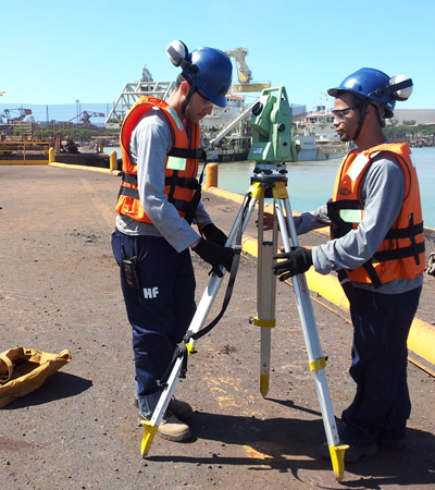
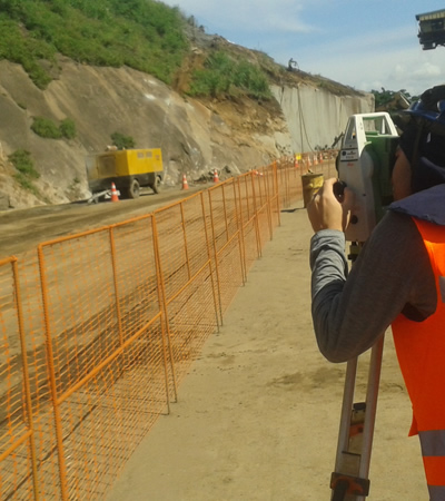
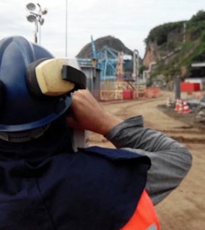
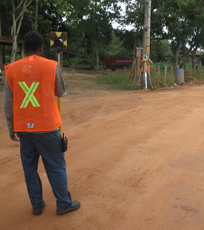
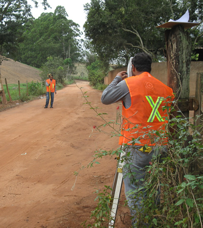
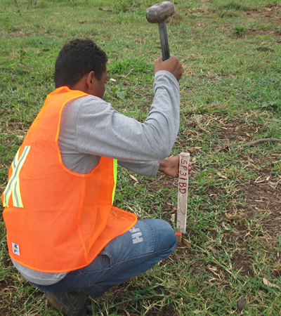
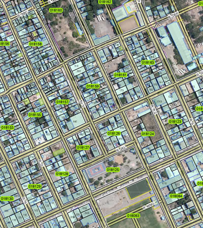
Topographic land surveys, Boundaries survey, Construction stakeout
- Georreferenced topographic land surveys
- Georreferenced Boundary line surveys
- Building site support, construction stakeout
- Quantities and earthwork volume calculations
Geodesy, monumentalization and GNSS
- INCRA’s certification (rural properties georreferencing)
- GNSS bases monumentation
- County’s georreferenced reference network implementations (GNSS passive network)
Civil Projects
- Roadway designs
- Earthwork and drainage systems
- Sewage collection and treatment projects
- Water distribuition
- Land parceling and subdiviosion (according to brazillians laws)
Registry regularization projects
- Registry regularization general plans elaboration
- Social concern Registry Regularization Project
- Specificic interest Registry Regularization Project
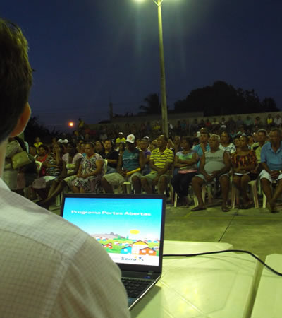
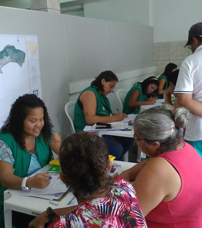
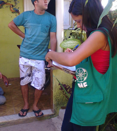
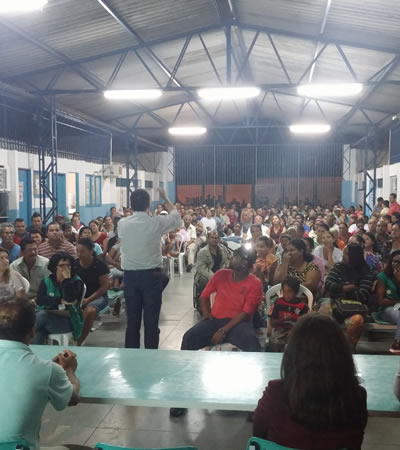
- Community mobilizations and socioeconomic citizen registration
